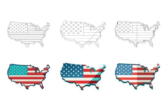
Exploring the Utility of the US Map Illustration in Digital Design
In digital design and visual communication, a well-executed map illustration serves as more than just a geographic reference. The US Map illustration, particularly as part of specialized AI EPS collections, represents a foundational asset for a wide range of professional projects. Its primary worth lies not in novelty, but in its execution as a precise, editable, and consistently designed vector graphic. This discussion centers on the practical characteristics of such a resource, moving beyond simple promotion to evaluate its tangible application.
At its core, a high-quality US Map vector file is a structured digital illustration. The format—AI and EPS—is critical. These are native Adobe Illustrator and encapsulated PostScript files, meaning the graphic is composed of vector paths, not pixels. This allows for infinite scaling without loss of detail, a fundamental requirement for projects that might range from a small web icon to a large-scale printed banner. The inclusion of a JPG file provides a quick-reference raster preview, but the true value is housed in the vector formats.
Key Characteristics and Design Integrity
The advertised features of this US Map set point directly toward professional usability. A neatly organized file and layer structure is not a minor convenience; it is a significant efficiency gain. In a complex vector file, layers for individual states, regional groupings, text labels, and background elements allow for selective editing, hiding, or styling. This organization speaks to a methodical design process, reducing the time a designer spends deconstructing a flattened, chaotic file.
Perfection in details and consistency is another claimed strength. In practice, this would manifest in uniform stroke weights across state borders, balanced typography for labels, and geometrically clean path curves. A consistent style ensures the map can integrate seamlessly into broader designs without appearing as a stylistically discordant element. The suitability for print, web, symbols, apps, and infographics stems from this foundational consistency and the vector format’s adaptability.
Evaluating Flexibility and Real-World Performance
The ability to edit, change colors, and modify the icon easily is the most impactful feature for most users. A static image of a map has limited use. An editable vector US Map becomes a dynamic tool. For example, a marketing professional creating a nationwide campaign infographic can color states differently to highlight regional data. An educator can simplify the map by removing labels for a quiz. A developer can extract a single state's shape as an app icon. This flexibility transforms a single asset into a multipurpose resource.
Real-world performance hinges on the file's technical reliability. A well-built EPS or AI file should open cleanly in both Mac and Windows versions of Illustrator or compatible vector software (like CorelDRAW or Inkscape). Color modes should be correct (likely CMYK for print readiness and RGB for digital), and fonts, if any are embedded, should be outlined or clearly documented to avoid licensing issues. The long-term value is high: a single, well-made vector map can serve countless projects over years, unlike a dated, low-resolution stock photo that quickly becomes unusable.
Audience Fit and Practical Applications
Who benefits most from this type of US Map asset? The audience is broad but specific in its needs.
- Professionals and Marketers: Those creating reports, presentations, or campaign materials that require a clear, authoritative geographic visual. The ability to customize colors to match brand guidelines is crucial.
- Freelancers and Small Business Owners: Individuals with diverse project needs but limited time or budget to create custom maps from scratch. A reliable, editable template increases output quality and speed.
- Publishers and Educators: Content creators needing maps for textbooks, online courses, or interactive materials. The suitability for both print and web delivery is key here.
- Bloggers and Serious Hobbyists: Those enhancing content with professional visuals without requiring advanced design skills. The organized layers make selective editing more approachable.
It is not, however, an ideal fit for everyone. Users requiring highly stylized, artistic, or non-standard cartography (e.g., a fantastical or heavily illustrated map) would need to significantly modify the base or create their own. Similarly, projects needing extreme geographic detail like county boundaries or topographic features would require a more specialized resource. This US Map appears geared toward clear, administrative-style representation.
Practical Recommendations and Limitations
When considering such an asset, a professional would recommend verifying the specifics. "Neatly organized" should mean logical layer naming (e.g., "States_NewEngland," "Text_CityNames"). "Perfection in details" should be confirmed by examining the vector paths for smooth, closed shapes. A potential limitation to consider is file complexity: a highly detailed map with many cities labeled might become cumbersome in very small-scale uses. It is often wise to have a simplified version or to know how to hide layers effectively.
Integration into a workflow is straightforward if the user is comfortable with basic vector software operations. The true test is whether the asset encourages customization or if it is used statically. The greatest return comes from leveraging its editable nature to make the map serve the unique context of each project, thereby elevating the final output beyond a generic insert.
In summary, the US Map illustration within a quality AI EPS collection presents a practical, versatile tool for visual communication. Its value is derived from technical execution—vector format, organized layers, and consistent design—which enables reliability and customization. For professionals, entrepreneurs, and creators whose projects require a clear, scalable, and adaptable representation of the United States, such a resource can streamline production and enhance quality. It fits into a workflow as a dependable baseline component, freeing time and creative energy to focus on the unique message the map is meant to help convey.